
Potomac News Reservoir, January 20, 2022
Join us for a salt management webinar on Friday 1/21/22 and other news in the Potomac News Reservoir.
Join us for a salt management webinar on Friday 1/21/22 and other news in the Potomac News Reservoir.
On February 9, 2022, this news piece was edited to add:
ICPRB’s CO-OP Section is holding a Q&A Session for the recent Request for Proposals (RFP) on seasonal forecasting to support Washington, DC, metropolitan area water supply operations. If you have any questions about the RFP or about our current tools, please register for the Q&A Session which will be held at 10 AM (EST) on Wednesday, February 16.
More information on the RFP can be found here.
Posted Jan. 20, 2022:
The ICPRB Section for Cooperative Water Supply Operations on the Potomac (CO-OP) provides technical and managerial assistance in drought-related planning and operations for the Washington, DC, metropolitan area (WMA) cooperative water supply system. The CO-OP requests proposals from academic institutions to advance its ability to forecast Potomac River flows 1-12 months into the future to help inform operational decisions related to drought.
Find more information on the RFP here.
Updates to the RFP, including information meetings, will be provided on ICPRB’s Jobs page.
A guide to service for Martin Luther King, Jr., Day in the Potomac News Reservoir.
You’re invited to participate in a webinar on Friday, January 21 from 12-1pm to learn and share about winter salt management in the Potomac basin.
REGISTER HERE for this free event.
This exciting event is being held as part of the implementation of the Potomac Basin Comprehensive Water Resources Plan and will feature a panel of speakers from Maryland State Highway Administration, City of Gaithersburg, Fairfax Water, and the Izaak Walton League of America. Panelists will share information related to their organizations’ on-the-ground salt management activities in the Potomac basin, followed by a Q&A session with participants.
We are seeking a results-driven, hands-on, detail-oriented, and responsive director of administration with strong interpersonal skills who can quickly become a key team player in this nimble organization. Learn more…
ICPRB is looking for three interns to work with us during the spring and summer months of 2022.
We are looking for two science/technical interns. Primary tasks for these positions are to revise and enhance the existing water quality data sources inventory, assist with watershed modeling activities of the Water Resources section, and/or provide field support for the Aquatic Habitats section.
We are also looking for one Graphic Design Intern to work closely with ICPRB scientific staff to produce attractive written technical materials.
On November 30 the Interstate Commission on the Potomac River Basin (ICPRB) will hold its quarterly business meeting. The meeting will begin at 9:45 a.m. The Section for Cooperative Water Supply Operations on the Potomac (CO-OP) will begin at 8:30 a.m.
During the business meeting, the Commissioners will see a presentation on the recent ICPRB report, Rapid Response Survey of Cyanobacteria Toxin Levels Downstream of North Fork Shenandoah River Algal Bloom After Tropical Storm Ida, 2021, which investigated downstream toxin levels after Hurricane Ida blew through and scoured the harmful algal blooms from the North Fork Shenandoah. Commissioners will also get updates on the Land Prioritization Mapping for Protecting Drinking Water Quality project, ICPRB’s evolving Justice, Equality, Diversity, and Inclusion policy, the recent resolution to review water supply agreements, and more of ICPRB’s work over the past quarter.
The draft agenda and historical meeting documents can be found on the Business Meetings page.
The meeting will be virtual. Members of the public who wish to view the proceedings should Contact Us no later than close-of-business on Wednesday, November 24. You will be sent a link to the meeting.
An important part of knowing where we are is knowing where we were. Water quality staff at ICPRB recently reviewed and proofed decades of water data collected by the U.S. Army Corps of Engineers Washington Aqueduct Division, which provides drinking water taken from the Potomac for Washington, D.C, and parts of northern Virginia. Data from 1905 to 2000 had been digitized from fading paper records and checked for accuracy to provide a look at Potomac water quality over time. The long-term trends in water temperature, salt content, and other factors were examined and published in “Potomac River Water Quality at Great Falls: 1940-2019.” Viewing the arc of water quality during more than 80 years of data can provide insights for all research and restoration efforts. Take a look at this video on the results:
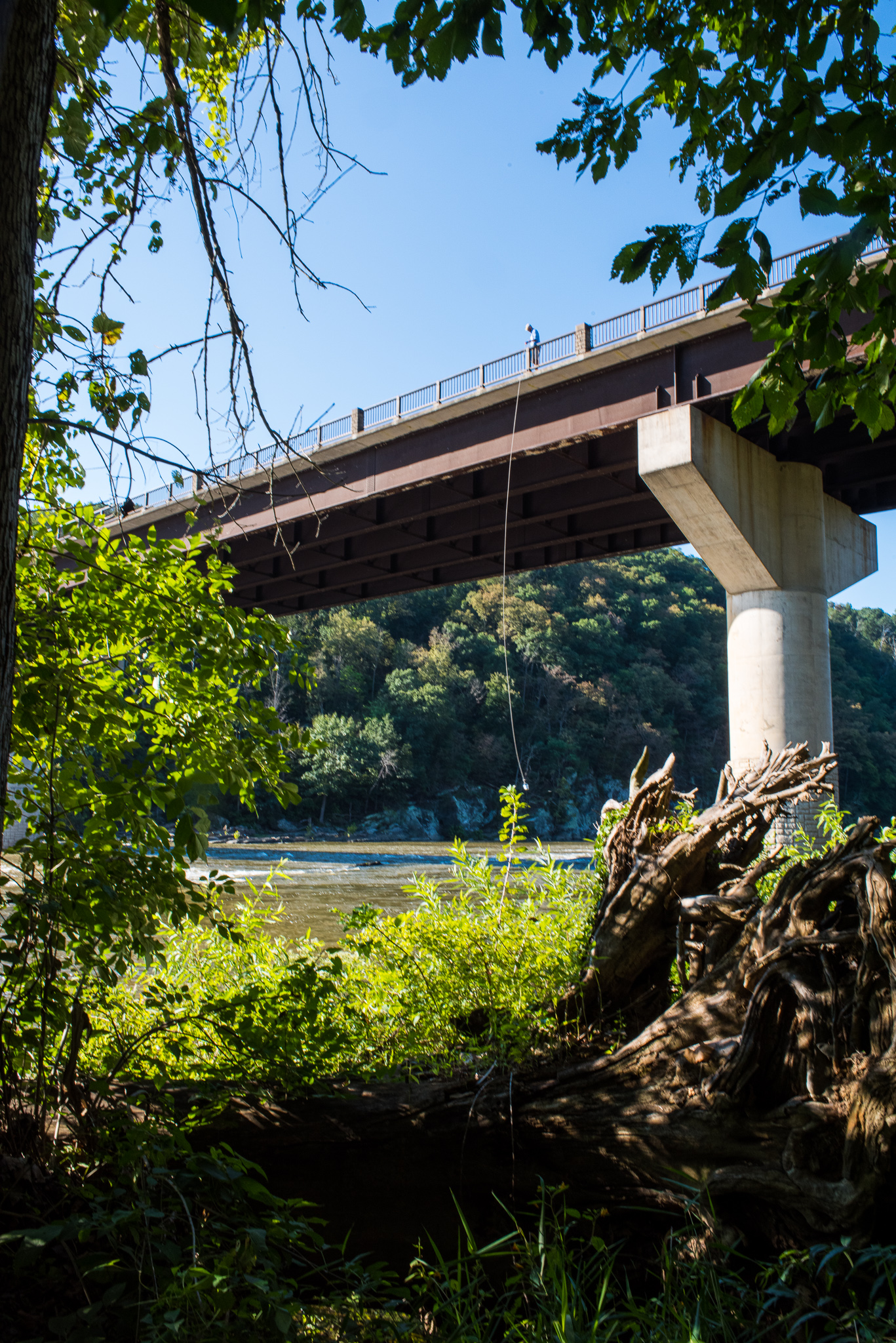
Rt. 340 bridge over Shenandoah
River near Harpers Ferry, WV
The ICPRB staff has researched algae blooms in the basin for many years. Most of this work has focused on chronic blooms of filamentous algae in the Shenandoah and Cacapon rivers in Virginia and West Virginia. While algae is an essential part of any natural waterway, chronic blooms, where algae forms large mats before decomposing restrict recreational use of stream and rivers and can compromise water quality and damage other aquatic life.
Another type of algae, known as blue-green alga or cyanobacteria can under some conditions produce a toxin that can be harmful to human and pets that ingest the water as well as aquatic life. The upper Potomac basin also has chronic blooms of blue-green algae that seem to be growing over time, most recently on the Shenandoah River, where the Virginia Department of Health issued a Harmful Algae Bloom (HAB) Advisory for a 53-mile stretch of the North Fork of the Shenandoah River on August 10, 2021. The ICPRB was preparing to survey the bloom area with other organizations when Tropical Storm Ida brought torrential rains to the basin that scoured the algae blooms from the river. The ICPRB then ran its Emergency River Spill Model to attempt to track the algae and its toxins downriver. The model estimated the time it would take for the algae and its toxins to reach the Potomac mainstem. The extreme flow conditions and high dilution factors resulted in no detection of cyanobacteria, according to a recent ICPRB Report on the Rapid Response Survey.
The ICPRB is enhancing the spill model with sensing data collected by air and on the river that increases understanding of the river’s hydraulics during different flows and increasing tracking accuracy for algae or spills of oil or other toxics that can compromise river ecology and drinking water supplies.
On October 12, 2021, the Potomac River Basin Drinking Water Source Protection Partnership (DWSPP) and ICPRB held a seminar on microplastics in the Potomac River Basin from a source water protection perspective with a focus on drinking water. The seminar was organized by the Microplastics subcommittee of the Contaminants of Emerging Concern Workgroup of DWSPP.
DWSPP is a voluntary association of water suppliers and government agencies focused on protecting sources of drinking water in the Potomac River basin. This coalition of water utilities and management and regulatory agencies enables a comprehensive approach to protecting raw water supplies in the basin.
Stay informed about the latest news, impactful projects, environmental challenges, and community initiatives in the Potomac River watershed—sign up today!