About the Basin: Anacostia Park
Anacostia Park
About the Basin—August 31, 2018
On August 31, 1918, Congress passed legislation to bring Anacostia Park into existence. Since that day one hundred years ago, Anacostia Park has become the nation’s neighborhood park. The 1200-acre park is located on the east side of Anacostia River in Southeast D.C. and is one of the biggest parks in the city. The National Park Service works hard to make the park an urban oasis with amenities for all.
The Anacostia Riverwalk Trail is a favorite among Washingtonian runners. Its 12-miles of smooth, wide trails with a beautiful river view is great for walkers, runners, and bike-riders alike.
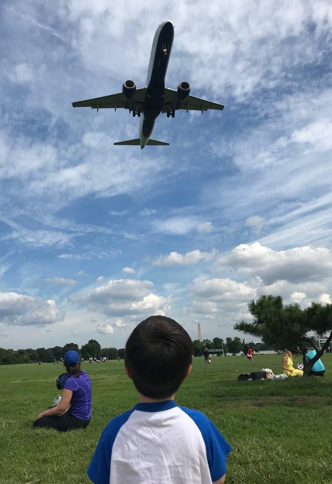
Sports fields, a swimming pool, picnic tables, and acres of green grass are all popular amenities at Anacostia Park.
For a bit of vintage fun, strap on your rollers skates and check out their rolling rink. Don’t have a cool set of wheels? They offer free rentals throughout the season, Memorial Day through Labor Day.
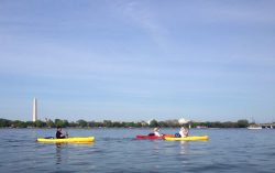
Join the National Park Service for their 100th Anniversary Birthday Bash at Anacostia Park this weekend. Live music, yoga, boat tours and more family-friendly activities on Friday and Saturday. Bring your bell-bottoms to join the Disco Skate Party Saturday night.