Upper Potomac Map Sets
Interstate Commission on the Potomac River Basin
Maps of the Upper Potomac River
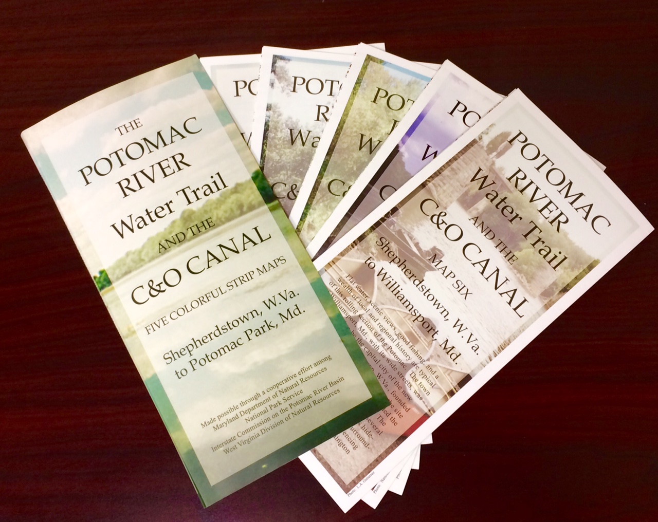
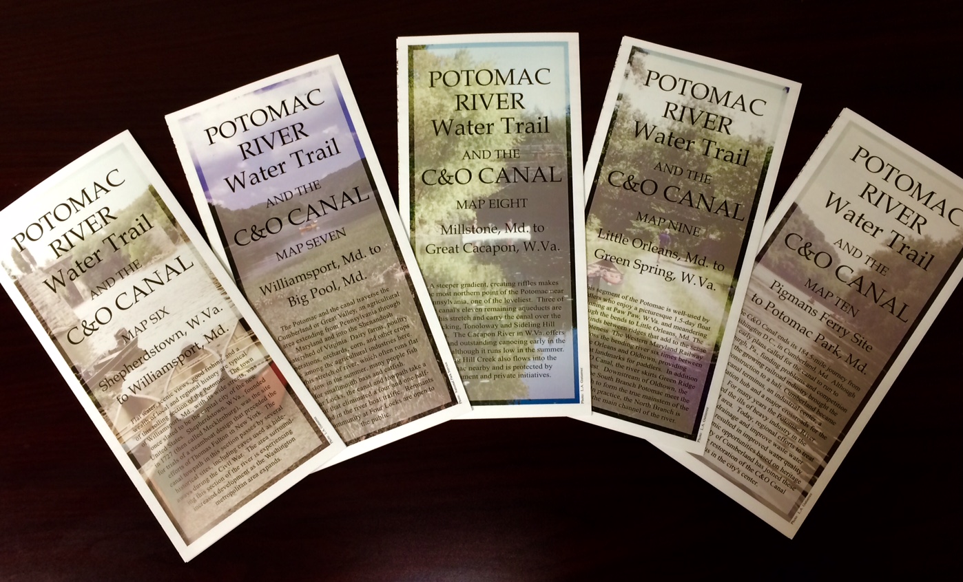
Upper Potomac Map Set
The companion to the Interstate Commission on the Potomac River Basin’s popular “Potomac River and C&O Canal” map set is now available, covering the upper half of the area from Shepherdstown, W.Va., to just upstream of Cumberland,
Md.
A valuable resource for canoeists, hikers and outdoors enthusiasts, this colorful five-map set is printed on waterproof, tear-proof paper. The maps include information on boating, public access sites, support facilities, camping and fishing sites, and picnic and parking areas. The maps are filled with cultural and historical information, safety tips, and contact information.
This handsome guide to the river and canal was produced by ICPRB, the Maryland Department of Natural Resources, National Park Service, and the West Virginia Department of Natural Resources.
Upper Potomac Map Set
To Purchase Upper Potomac Map Sets
Costs: $5.00 per map set (includes S&H).
There are several easy ways to order:
-
- Send $5 for each map set to: ICPRB-Maps, 401 N. Washington St, Ste 300, Rockville, MD 20850.
- Maps are available at the ICPRB office in Rockville, Md. during normal business hours. Please contact us in advance to ensure someone will be available to assist you.
- Pay via PayPal by clicking the button below or using info@icprb.org:
Lower Potomac Maps for Download
The Lower Potomac Map Sets (from Washington, D.C. to Opequon Creek, Md.) are currently unavailable in print but can be downloaded and printed from our website.